The Space Science & Geospatial Institute (SSGI) is gearing up to launch a Digital Addressing System (DAS) that will enable door-to-door services in Bishoftu City, with the feasibility study for similar efforts in Addis Ababa already completed.
The system, designed as an alternative to Google Maps and equipped with a navigation feature provides users with information about the geographical location of every asset, including residential houses and various infrastructures such as roads. Each entity is identified with a unique address assigned through numbers.
Accessible through both a mobile app and a website, DAS aims to provide convenient access to precise locations.
“The main objective of this project is to create an enabling environment for the digital economy by establishing a digital address system for 73 large and medium-sized cities in the country,” the Mapping Chief of the Ethiopian Space Science & Geo-Spatial Institute, Tewodros Kassahun, told Shega.
The absence of a national addressing system has long been identified as a bottleneck for last-mile delivery in Ethiopia.
“The lack of a national addressing system represents significant transactional costs. An addressing system could serve as a geographical and human database to be used for increasing efficiency in service delivery, facilitating mapping, and improving urban management. In urban centers like Addis Ababa, last-mile delivery is a labor-intensive task, as personnel must call people for directions typically more than once before locating the address,” reads the Ethiopian Digital Strategy 2025.
It’s this strategy that laid the groundwork for the introduction of a national addressing system, setting it as a prioritized project to unlock the e-commerce sector in Ethiopia.
The launch ceremony for Bishoftu’s DAS is scheduled for December 28, 2023. On the same day, the institute will sign an agreement with the Addis Ababa Mayor’s Office to initiate the Addis Ababa chapter.
Bishoftu, located 48 km southeast of Addis Ababa is known for its lakes and as a tourist destination. Covering an area of 182.8 sqm, the city was chosen due to its proximity to the capital city. Tewodros highlighted that the DAS system includes Dukem City as a sub-city of Bishoftu.
In addition to Bishoftu and Addis Ababa, the institution is also collaborating with the Adama City Administration, having completed over 60% of the processes for its inclusion in the DAS system.
The Bishoftu mapping system incurred a cost of over 74 million ETB, while the Adama system may cost three times that amount upon completion. Tewodros declined to give a figure on the costs of the Addis Ababa DAS, citing the early nature of the project.
“The system will assist ambulances, firefighters, and other essential services in reaching precise locations. Postal deliveries will also be efficiently directed to doorsteps upon the program’s launch,” explained Tewodros.
Benefiting from its local design, the program is designed to be updated as needed. In addition, it highlights closed roads during various events, such as carnivals and public gatherings.
The Institute is collaborating with various government sectors for the implementation of the system. “We are utilizing the latest satellite imaging system in Africa, capable of capturing images with an aerial resolution of 15 cm,” said Tewodros.
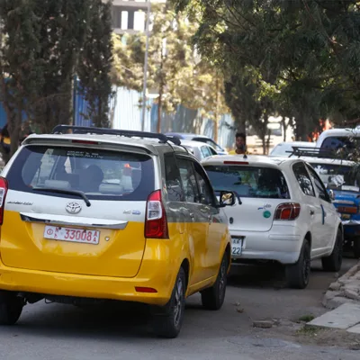
Brook Abera, a 26-year-old ride driver in Addis Ababa, told Shega the challenges he faces due to the lack of an addressing system.
Brook typically uses Google Maps and relies on the names of well-known places to communicate with passengers regarding pick-up and destination locations. He notes that there are instances when he turns down contracts due to addresses being unfamiliar or for various reasons.
The Geospatial and Space Science Institution was formed at the end of last year when the Ethiopian parliament decided to merge Ethiopia’s Space Science Technology Institute (ESSTI) with the Ethiopian Geospatial Information Institute (EGII).
“This DAS will help us minimize the costs significantly,” says Rosa Kassa, Coordinator at the Ethiopian Couriers Association.
She points out that frequent calls are made between delivery drivers and customers to establish the exact delivery location, not to mention the fuel expenses.
Rosa further suggests that delivery companies can install GPS systems on their vehicles to monitor the delivery process, making working hours more controllable.
_________
The article has been updated to include a response from the Ethiopian Couriers Association.


